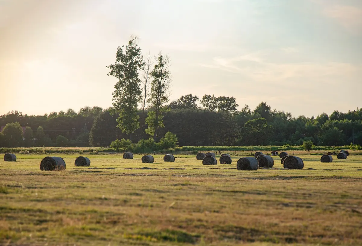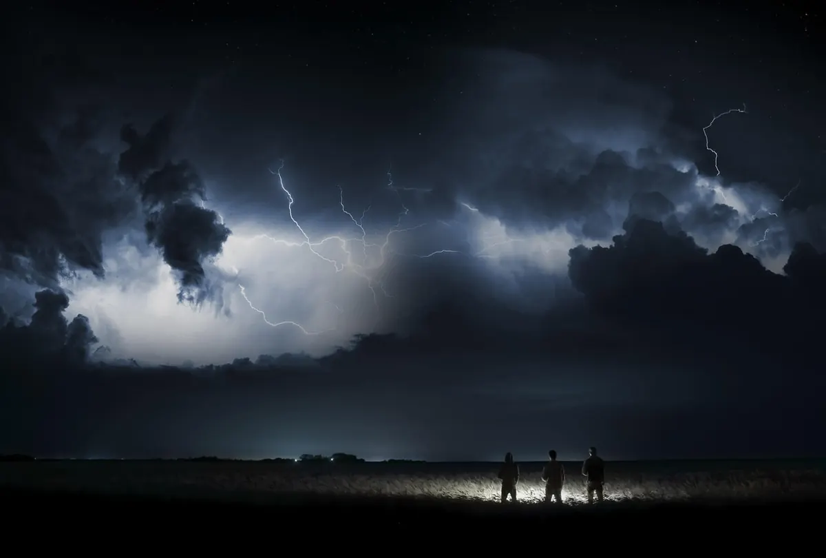
The cheapest weather station on a hill farm is the one you already own: a clear view of the sky. Long before a barometer needle drops, high cloud slides in from the west, the sun loses its edge, and the light over the fields goes flat and grey. Learning to read that sequence takes a season of looking up — and a camera helps more than any book.
What follows is a working checklist of twelve sky signs, in roughly the order they tend to appear. Photograph them as you see them: a dated picture of the same patch of sky, taken at the same time each morning, will teach you more about your own valley than a week of forecasts. Not every sign brings rain, and none of them guarantees it. But two or three together, arriving in sequence, is a strong hint that the weather is about to turn.
Before You Look Up, Look West
Clouds tell you what is happening; the wind tells you where it is going. In the middle latitudes most weather travels broadly from west to east, so the western horizon is the one to check first — a strip of clear sky there buys you hours, while a grey wall climbing from that direction is your clock starting.
Note the wind as well, and note whether it shifts. A wind that turns and freshens while the cloud thickens is a different message from a steady breeze under the same cloud. On a valley farm, add your own local rule: air spilling over a ridge, cloud snagging on a summit, a sea breeze arriving at mid-morning. Those small, repeatable patterns are worth more than general advice.
The High, Thin Warnings
These three arrive highest and earliest, often a day or more before the first drops.
1. Cirrus streaks — mare's tails
Hooked, feathery threads high up, drawn across blue like comb marks. When they first appear, the sky is still bright and the day still fine. That is exactly the point: cirrus is often the leading edge of a front, moisture carried far ahead of the rain itself.
2. Cirrostratus and the halo
Next the streaks spread into a pale, milky veil that takes the blue out of the sky without greying it. The giveaway is a ring around the sun or moon — a halo. It is easy to miss through a window and obvious if you shade your eyes and look carefully. Halo first, rain later, is one of the oldest and most dependable of the sky's sequences.
3. Mackerel sky
Rippled patches of small high cloud, like fish scales or sand at low tide. Old country sayings treat it as a sign of change — wet on the way, or at least unsettled — and it is a good one to photograph because the pattern is unmistakable.
The Middle Layer Takes Over
4. Altostratus — the watery sun
A uniform grey-white sheet that dulls the sun to a bright smudge. Shadows disappear. Everything in the yard looks slightly flat. When the sheet thickens and its base sinks, rain is usually not far behind; watch for the underside turning darker from one edge.
5. Altocumulus — the torn grey quilt
Mid-level patches, sometimes in rows, with breaks of blue between them. On a warm, sticky morning, altocumulus with dark, flattish bases is a hint that the air is getting unstable and afternoon storms may build.
6. Altocumulus castellanus — the turrets
Look for small towers rising off the top of mid-level cloud, like the battlements of a castle. They say the air aloft is restless. If you see them before noon on a hot day, keep an eye on the horizon after lunch and have the hay covered.
Low Cloud and the Dark Base
7. Cumulus building early
Fair-weather cumulus is flat-bottomed, sharp-edged and arrives in the afternoon. The type to watch grows tall, early and fast — cauliflower heads with hard bright tops by ten in the morning. Height and speed are the tell.
8. Nimbostratus — the even grey lid
Not a cloud so much as a ceiling. There is no structure, no dark edge to track, just a steady grey that settles in for hours. Ragged shreds of low cloud running beneath it are the classic confirmation.
9. Scud racing under the base
Small, torn, dark fragments moving quickly and low, often at a different angle from the cloud above. Scud means strong, moist air is being churned up; if it appears suddenly, look for the gust front.
10. The shelf and the roll
A low, wedge-shaped leading edge to a dark cloud mass, sometimes with a smooth curled roll ahead of it. When one crosses the valley, the wind arrives before the rain — batten the tarpaulins, shut the barn doors, and get inside.
Light, Colour and the Closing Horizon
11. The western wall
Stand in the same spot each afternoon and photograph the western horizon. A gap that narrows day by day, a bank of grey that grows taller rather than sliding past — that is your best local forecast. Cloud that sidles along the horizon instead of climbing is usually harmless.
12. Flat metallic light
When the sun's warmth leaves the light and the fields look pewter rather than green, rain is rarely far off. Some observers also read a greenish or bruised tint in a storm base as a hail warning — not a rule, but worth a photograph and a covered windscreen. Folklore earns its place here too: red sky at night, sailor's delight; red sky at morning, sailor's warning. Under a west-to-east flow the reasoning holds well enough to keep in the back pocket.
Put the Signs in Order
A single sign is a hint. A sequence is a forecast. What you are watching for is a procession:
- Cirrus threads on a bright day, then a halo.
- Cirrostratus thickening, mackerel patches between.
- Altostratus: the sun going soft and the shadows going out.
- The base sinking, darkening, turning ragged.
- Wind shifting and freshening, light going flat.
- Rain — first in big single drops on the dust, then steady.
Photograph each stage with the date and time, and note the wind direction alongside it. After a month you will have a personal series of pictures that means far more than a stranger's generalities about clouds.
A Five-Minute Sky Routine
This is the whole method, and it fits between the kettle and the first job of the day.
- Pick one high point on the farm with a clear western view, and use only that spot.
- Spend two minutes looking up: highest cloud first, then the middle layer, then the base.
- Note the wind direction and whether it has changed since yesterday.
- Take one photograph of the western horizon, whatever the sky is doing.
- Write three words in the daybook — "high cirrus west", "even grey lid", "clear and cold" — and nothing more.
Nothing here replaces a proper forecast, and a glance at the sky should never be the only thing deciding when to cut hay. Use it alongside the barometer and the forecast: when all three agree, act with confidence. When the sky disagrees with the forecast, trust the sky for timing and the forecast for the day, and take the photograph anyway. Six weeks of that notebook will teach you the weather of your own valley better than any checklist, including this one.
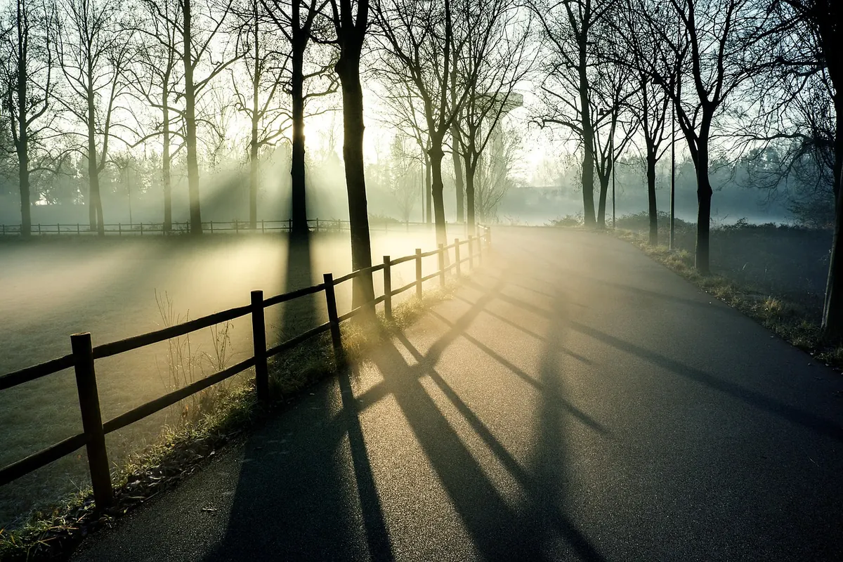
Photo: Schäferle2 / Pixabay